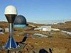
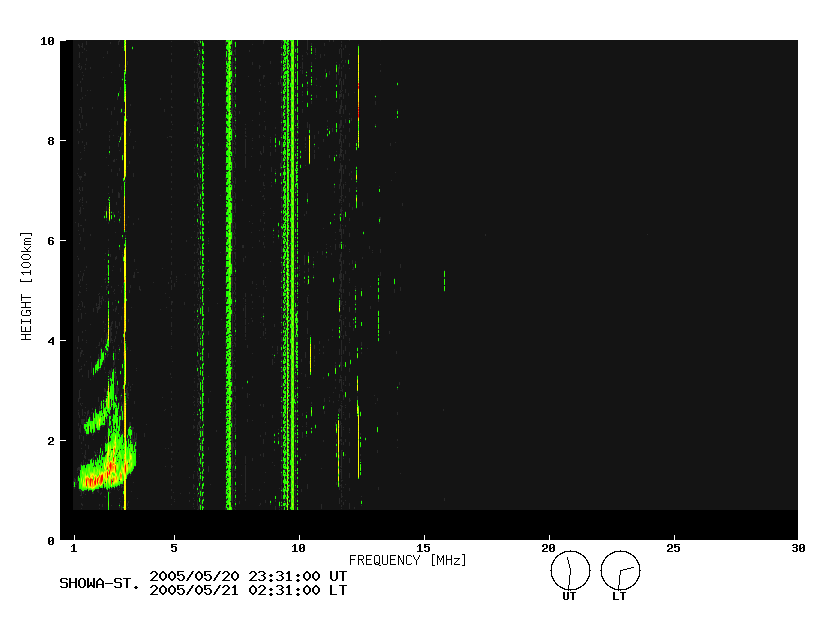
 |
|
Continuous GNSS observation
|
The 36th JARE (1994) set up an IGS point (SYOG) inside Syowa Station, ...
|
 |
|
Fluctuation survey of exposed rock area
|
|
 |
|
Control point survey
|
The reference points to make the topographical map in the Antaratic re...
|
 |
|
Leveling
|
Leveling was conducted on East Ongul Island in order to detect the upl...
|
 |
|
Absolute gravity measurement
|
The IAGBN aims to distribute gravity points worldwide and construct a ...
|
 |
|
Relative gravity measurement
|
Gravity measurement in reference point of exposed rock areas
|
 |
|
Geomagnetic survey
|
As of the 47th JARE (2005), we have accumulated a total of 1,757 geoma...
|
 |
|
Antarctic region topographical map
|
Topography at a scale of 1:5,000 covering Ongul Islands including Show...
|
 |
|
Antarctic region color photo
|
Photographic image maps were drawn in conformity with the internationa...
|
 |
|
Antarctic region satellite image maps
|
Between FY 1981 and 1988, we prepared a total of eight satellite image...
|